
Apple Creek Boulevard Corridor Safety Improvements
Updated as of November 6th, 2023
Background
In 2020, the City of Markham completed a City-wide traffic safety audit to assess the safety performance of its road network. The audit analyzed intersections and midblock road segments and ranked them based on their collision history and potential for collision due to various risk factors such as the number of lanes, speed (operating vs. posted), transit stops, and road geometry. The audit concluded that the Apple Creek Boulevard corridor ranked high overall in terms of collision performance and risk for all road users.
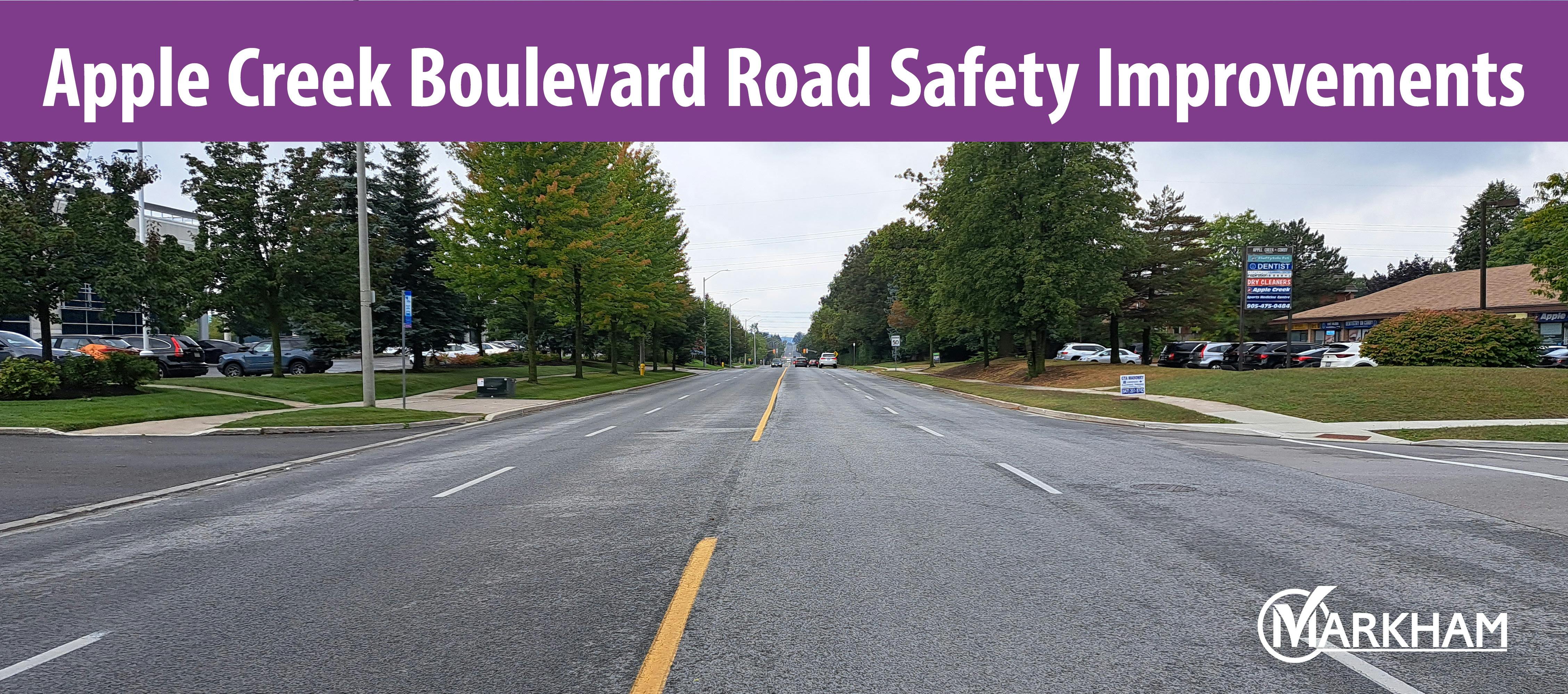
Following the outcome of the audit, the City of Markham completed a comprehensive safety and operational review of Apple Creek Boulevard. This 2.0 km major collector road has an average annual daily traffic (AADT) volume of 10,000 and connects Woodbine Avenue to the west to Warden Avenue to the east. The posted speed limit is 50 km/h; however, the 85th percentile operating speeds range between 60-76 km/h.

The primary objective of this project was to identify potential safety issues, and provide short and long-term recommendations for potential safety improvements for all road users.
Corridor Considerations
The Apple Creek Boulevard corridor was assessed to determine the feasibility of several options:
- Road widening to accommodate left turn lanes
- Accommodate in-boulevard cycling facilities
- Lane re-configuration (road diet)
The following issues were identified when determining the recommendations:
- Constrained Right-of-Way (ROW): The constrained ROW along Apple Creek Boulevard limits the ability to widen the road without impacting or acquiring property. In addition, a road widening would result in an increase in road capacity and operating speeds which counteracts the objective of increasing road safety. If property impacts are to be avoided, consideration for an in-boulevard facility would be limited to the southern boulevard only. As illustrated below, there is an insufficient ROW to accommodate an in-boulevard facility on the north side. Although there is sufficient ROW on the south side, conflicts with existing electrical utilities and landscaping will result in a number of costly removals and relocations.

- Rouge River Bridge: This 19-meter wide bridge structure is approximately 175 meters west of John Button Boulevard. To provide continuity of an in-boulevard facility, structural modifications to the bridge will be required.

- Transit Stops: Accommodation of an in-boulevard facility around existing transit stops will require property as the existing sidewalk will need to be expanded further south. (Example below: Apple Creek Blvd & Rodick Road)

Following completion of the review, it was determined that a road diet with on-road dedicated cycling facilities be the recommended option for Apple Creek Boulevard. A road diet would transition the existing four lanes (two in each direction) to two lanes (one in each direction) with left turn lanes at intersections and driveway accesses. Through this recommendation, the objective of improving road safety will be achieved. Based on existing traffic volumes, there would continue to be sufficient road capacity to accommodate existing and future traffic volumes to 2031 and beyond.
Benefits of a Road Diet
- Road diets have been shown to significantly reduce collisions between 19 and 47 percent due to reduced vehicle speeds and conflicts (See Reference 2 below)
- Road diets can reduce vehicle delay as they separate left-turning traffic from through traffic at driveways and intersections (See Reference 3 below)
- Road diets allow for space to be reallocated from travel lanes to cycling facilities without expensive reconstruction (See Reference 3 below)
- Reducing the number of vehicle travel lanes provides for improved pedestrian crossing opportunities
In addition to the road diet, several improvements are being recommended to help improve road safety along the corridor and include, but are not limited to:
- Consideration for dedicated on-road cycling facilities
- Improving the visibility of the signal heads at signalized intersections
- Implementing curb radius reductions at all intersections to reduce pedestrian crossing distances, lower turning speeds, and calm traffic along the corridor and installing tactile strips
- Modifications to the existing Tim Horton’s/Wendy’s access
- Providing a dedicated westbound left turn into Unionville High School
- Implementing warning sign and pavement marking improvements throughout the corridor
- Implementing traffic and pedestrian signal timing modifications
The proposed cross-section can be downloaded from the "Documents" section in the sidebar.
Next Steps
The recommended road diet is moving towards the detailed design stage. A budget request has been submitted to allow the design to start in 2024 and is subject to Council approval. The public will have the opportunity to provide comments and input during the development of the detailed design.
Following completion of the design, implementation of the road diet would commence in 2025, subject to Council approval.
Get Involved
The Public Information Session has been completed. The presentation materials and a public engagement summary have been uploaded for viewing. The City would like to thank the community for their participation in the Public Information Centre (PIC) held on September 27th, 2023 at the Markham Civic Centre.
Other Ways to Get Involved
- Stay Updated: Save this website to your browser favourites.
- Provide your Feedback: Contact one of the Project Managers listed on the sidebar and provide your feedback or ask questions you may have regarding the project.
References / Links to Supporting Information
For further information about the City of Markham's vision for improving safety for vulnerable road users.
- City of Markham Traffic Safety Information: www.markham.ca/traffic
- FHWA "Evaluation of Lane Reduction 'Road Diet' Measures on Crashes." FHWA Report No. FHWA-HRT-10-053. (Washington, D.C: 2010)
- FHWA Road Diet Informational Guide, November 2014
- City of Markham Active Transportation Master Plan: https://www.markham.ca/wps/portal/home/neighbourhood-services/walking-and-cycling/master-plan-and-studies/activetransportationmasterplan_2021
-
Share Ideas on Facebook Share Ideas on Twitter Share Ideas on Linkedin Email Ideas link
We invite you to share your feedback and ideas that will be considered during the development of the detailed design.
View All Ideas8 months ago
Left turn lanes are not necessary for all intersections, especially for commercial buildings
The new plan would establish left turn lanes at all intersections and all entrances for commercial buildings. This is overdone and not necessary. The traffic volume for the commercial buildings on the south side of Apple Creek Blvd is very low. Exclusive left turn lanes for them at all entry points would be a waste of road space.
8 months ago
Don't forget about Buttonville airport shutting down in Nov2023, bought by Cadillac Fairview for a large-scale building project. Traffic.
Buttonville Airport closing; construction
8 months ago
Absolute No to reduce lanes
It will create disaster to the traffic on main roads.
8 months ago
Install speed limit reminder sign
Speeding is a concern. pls install speed limit reminder sign, that is yellow, with vehicles speed shown, at westbound between hollingham to coby, eastbound between McIntosh and John button.
7 months ago
Too much rush hour traffic - lane reduction is a bad idea
Can you explain how traffic will flow during rush hour given the volume?
